well, a good soaking, bit more than an inch. now if this happens once a week for the next 3 months we might be ok.
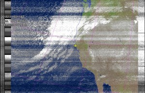
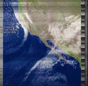
here’s some pics i took of the storm. sorry for the unusually bad quality, there’s a large grow-op nearby radiating on the grid close to my station. see previous post on cheating the UL/CE and those damn digital grow light ballasts…….
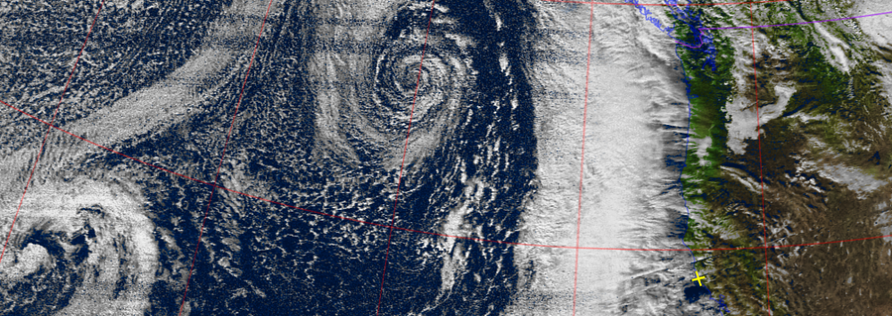
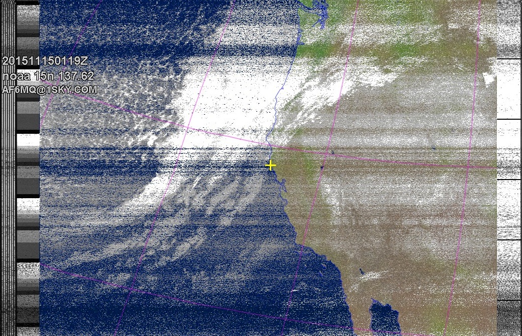
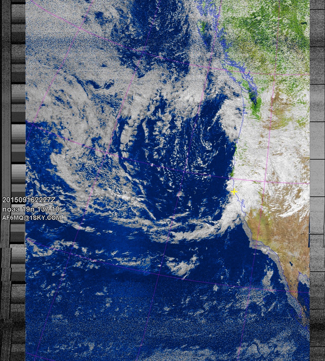
incoming,
NOAA 15 northbound 89W at 15 Nov 2015 01:19:17 GMT on 137.62MHz, MCIR enhancement, Normal projection, Channel A: 3/3B (mid infrared), Channel B: 4 (thermal infrared)
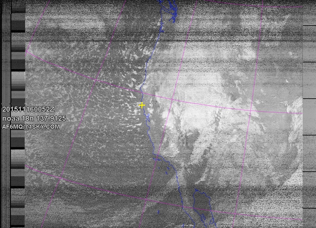
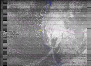
last night as the cold line moved over,
NOAA 18 southbound 43E at 15 Nov 2015 13:27:22 GMT on 137.9125MHz, MCIR enhancement, Normal projection, Channel A: 3/3B (mid infrared), Channel B: 4 (thermal infrared)
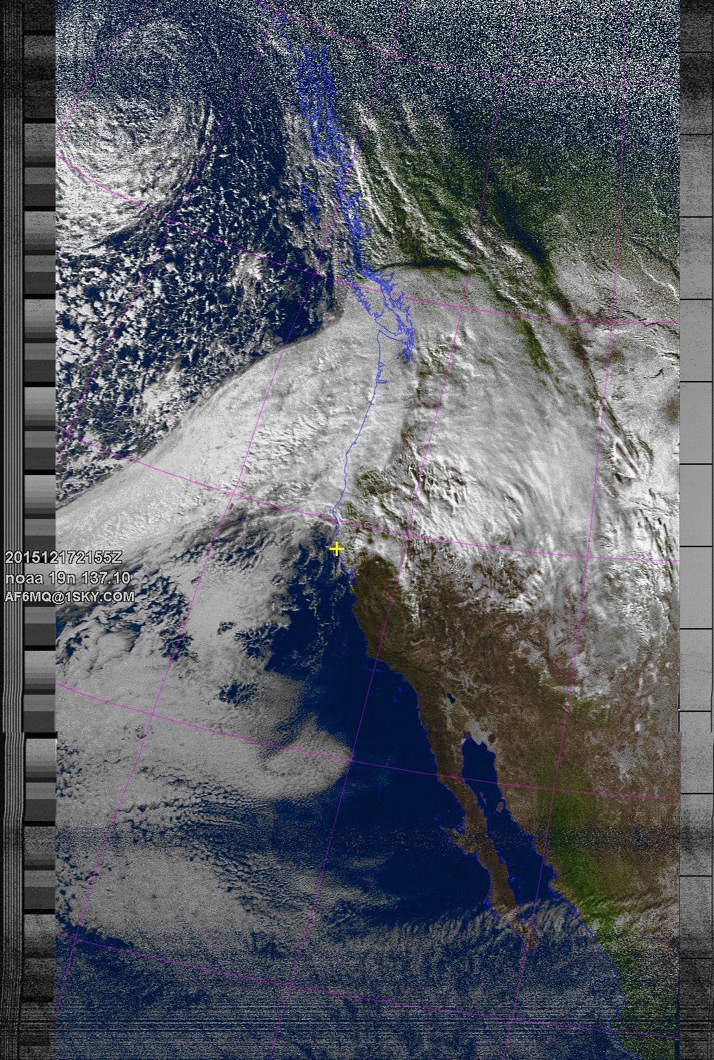
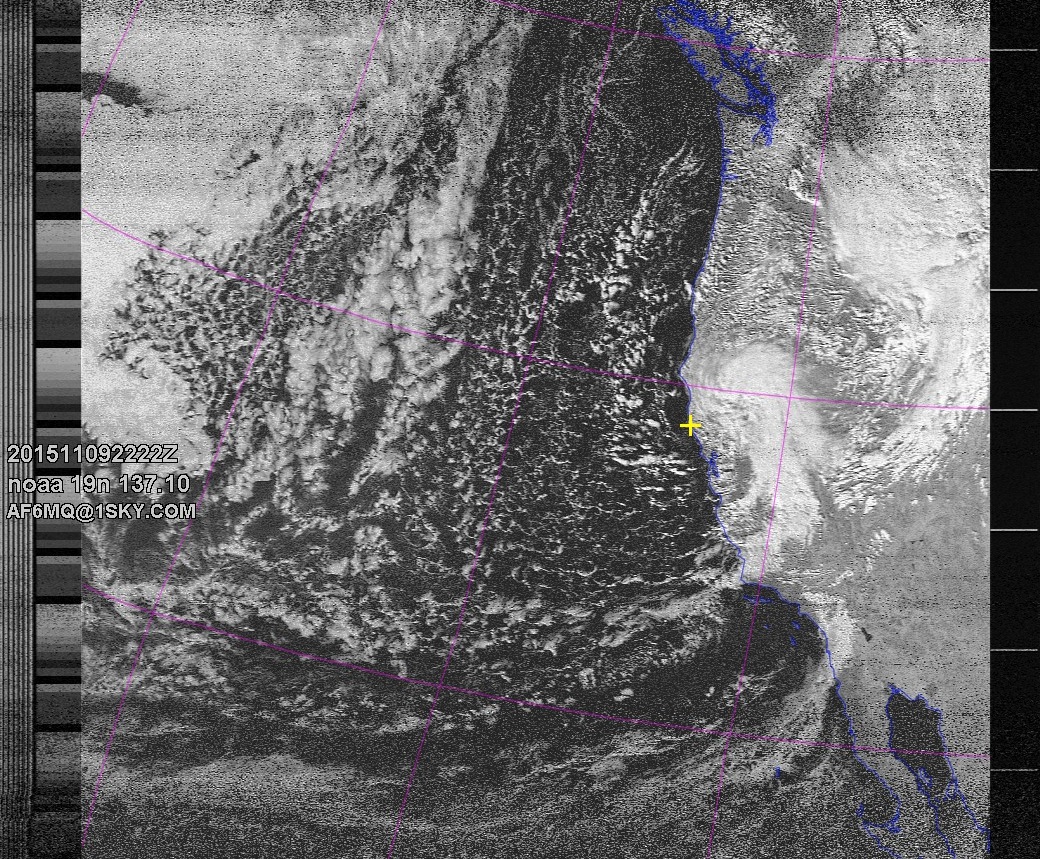
and today in the post-frontal thunderstorm fun.
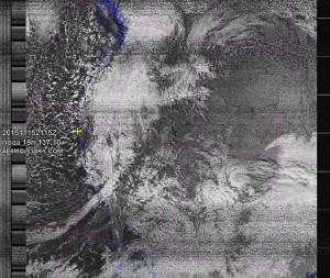
NOAA 19 northbound 36E at 15 Nov 2015 21:15:23 GMT on 137.10MHz, contrast enhancement, Normal projection, Channel A: 2 (near infrared), Channel B: 4 (thermal infrared)
NOAA 18 northbound 72E at 16 Nov 2015 00:52:23 GMT on 137.9125MHz, contrast enhancement, Normal projection, Channel A: 3/3B (mid infrared), Channel B: 4 (thermal infrared)